
Romania has been a NATO member since 2004, and its Danube frontier - the Chilia branch of the river forms the border with Ukraine through the delta - sits directly across the water from Ukraine's Izmail and Reni river ports, both repeatedly targeted by Russian strikes since 2023. Tulcea County, on the Romanian side of that border, has recorded drone debris and airspace incursions in nearly every stretch of frontier from Chilia Veche in the north to Sulina on the Black Sea coast. Separately, Romania's Black Sea exclusive economic zone off Constanța has become a theatre for Ukrainian naval-drone operations against Russian assets, with its own distinct pattern of incidents.
AirVeto's wind layer covers the Romanian-Ukrainian border along the Danube delta and Romania's Black Sea coastline as an inflow-detection segment: the map highlights stretches of frontier where the wind is blowing from Ukraine into Romania within the working detection threshold. Because the delta's channels are narrow in places - a few kilometers separate the Ukrainian and Romanian riverbanks along parts of the border - a drone or drone fragment that loses guidance over the Ukrainian side can cross into Romanian territory on a short final leg, and the wind field at the time is often the clearest available signal for how it got there.
The altitude field defaults to 3,000 meters, the working band for the Geran-2 and Shahed-type drones documented at most Romanian sites. Debris finds close to the border - Chilia Veche, Sfântu Gheorghe, Parcheș - point to drones that deviated late, near or over the river itself. Finds further inland - Tănăsoaia in Vrancea County, Puiești in Vaslui County, more than 100 km from the delta - indicate a longer uncontrolled flight, and the wind field across that fuller distance is the more useful read for those events.
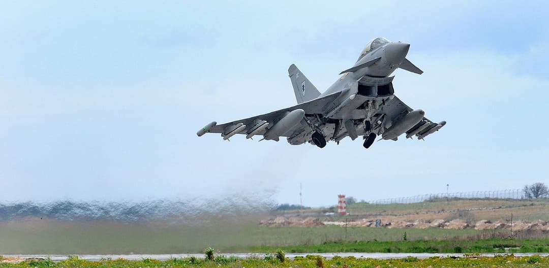
The pattern at the delta itself starts with a 50-minute loiter over Chilia Veche in September 2025 and continues through repeated single-drone crossings: Grindu in November 2025, Parcheș in March 2026, two separate incursions near Sfântu Gheorghe five months apart. A radar-detected drone group near Snake Island triggered a 73-minute alert on 7 July 2026, with Eurofighters scrambled but no engagement. Three weeks later, the pattern escalated into Romania's first intercepts of its own airspace: a Buzău County shoot-down on 24 July, a second near Sfântu Gheorghe on 25 July, a third over territorial waters off Sulina on 26 July, and a fourth drone that entered near Sulina on 27 July without being engaged.
Two incidents in Galați sit apart from the delta cluster and mark a shift in consequence. A Geran-2 crashed in the Bariera Traian district in April 2026 without casualties; five weeks later, on 29 May 2026, a second Geran-2 hit a ten-storey apartment block on Bulevardul Brăilei and injured two residents - the first confirmed case of a Russian drone injuring civilians on NATO territory. Both sit roughly 100 km north of the delta, in line with the same inland-drift pattern the Vrancea and Vaslui finds show.
A separate strand runs at sea rather than in the air. Ukrainian naval drones operating against Russian targets in the Black Sea have periodically lost control under Russian electronic-warfare jamming and detonated in Romanian waters - most visibly at Constanța's Port pier 77-78 in June 2026, which prompted the evacuation of over 1,300 people from nearby beaches. Romania's acting Defence Minister separately disclosed five Ukrainian naval drones detected and destroyed in the country's Black Sea economic zone between May and July 2026. This maritime pattern runs on its own timeline, independent of the airborne drone cluster at the delta.
An analyst reading this frontier on AirVeto gets the most out of comparing two things at once: the reported crossing point against the delta's narrow channel geography, and the wind field's inflow direction at the altitude band the drone type in question actually flies. A debris site well inland, as at Tănăsoaia or Puiești, is best read against the fuller wind trajectory rather than the immediate border segment - the deviation that put it there happened much earlier in the flight.
AirVeto reconstructs the wind conditions around each of these events from public meteorological data; it does not track drones in real time, and it is not a substitute for Romanian or NATO monitoring systems. The wind layer adds the atmospheric context public reporting on these incidents rarely includes.
Incidents at this location
- 🇷🇴 · Aug 20, 2026 · Neptun Deep gas platform
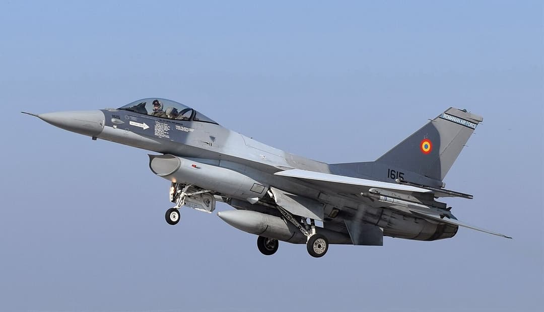
Neptun Deep naval drone, 20 Aug 2026 - Romania scrambles F-16s
An explosive-laden naval drone was spotted near Romania's Neptun Deep gas platform in the Black Sea on August 20, 2026. Romanian F-16s destroyed it; von der Leyen called it hybrid warfare. - 🇷🇴 · Jul 27, 2026 · East of Sulina
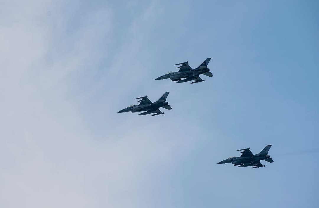
Romania's Danube Delta: four airspace incursions, July 2026
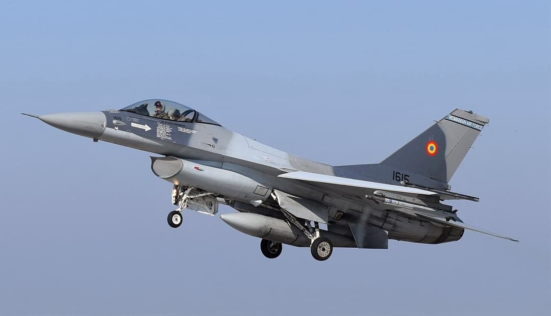
Romanian F-16s shot down three drones over the Danube Delta on July 24–26, 2026. A fourth entered east of Sulina on 27 July and flew to Ukraine without intercept. - 🇷🇴 · Jul 26, 2026 · 12 km northeast of Sulina
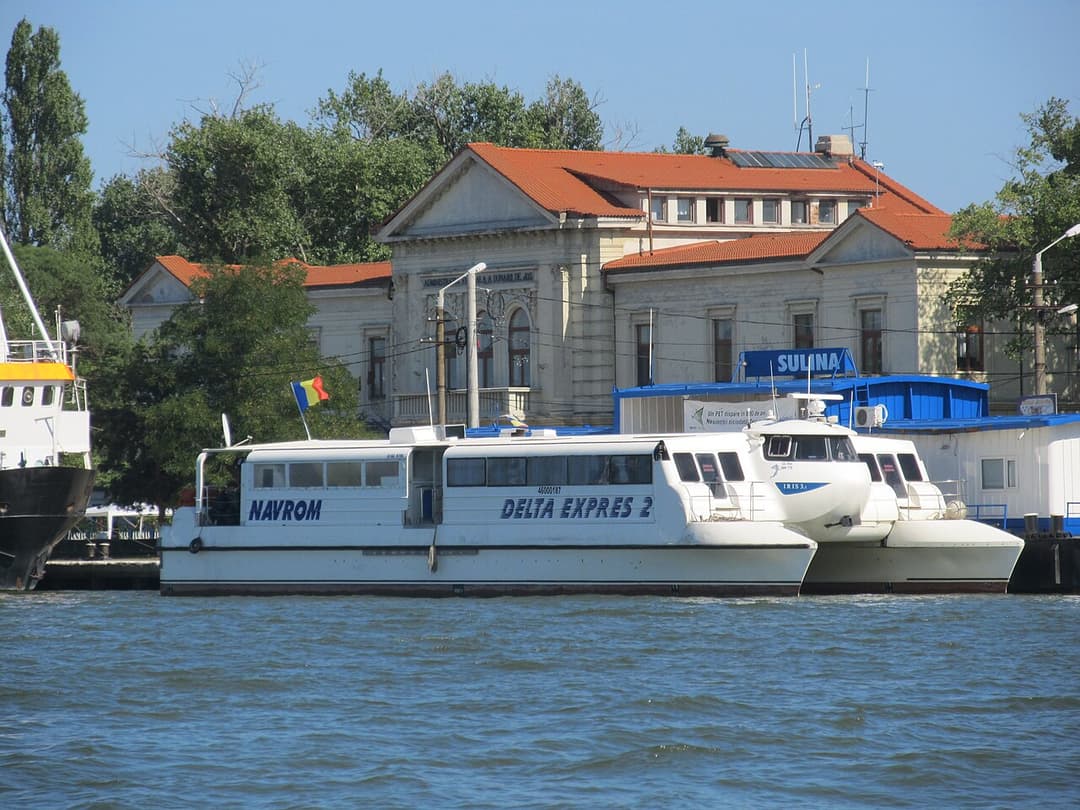
Romanian F-16 downs drone over Black Sea near Sulina
A Romanian F-16 shot down a drone 12 km northeast of Sulina over Romanian Black Sea waters at 10:13 EEST on July 26, 2026 - the third intercept in three days. - 🇷🇴 · Jul 25, 2026 · Approximately 10 km west of Sfântu Gheorghe
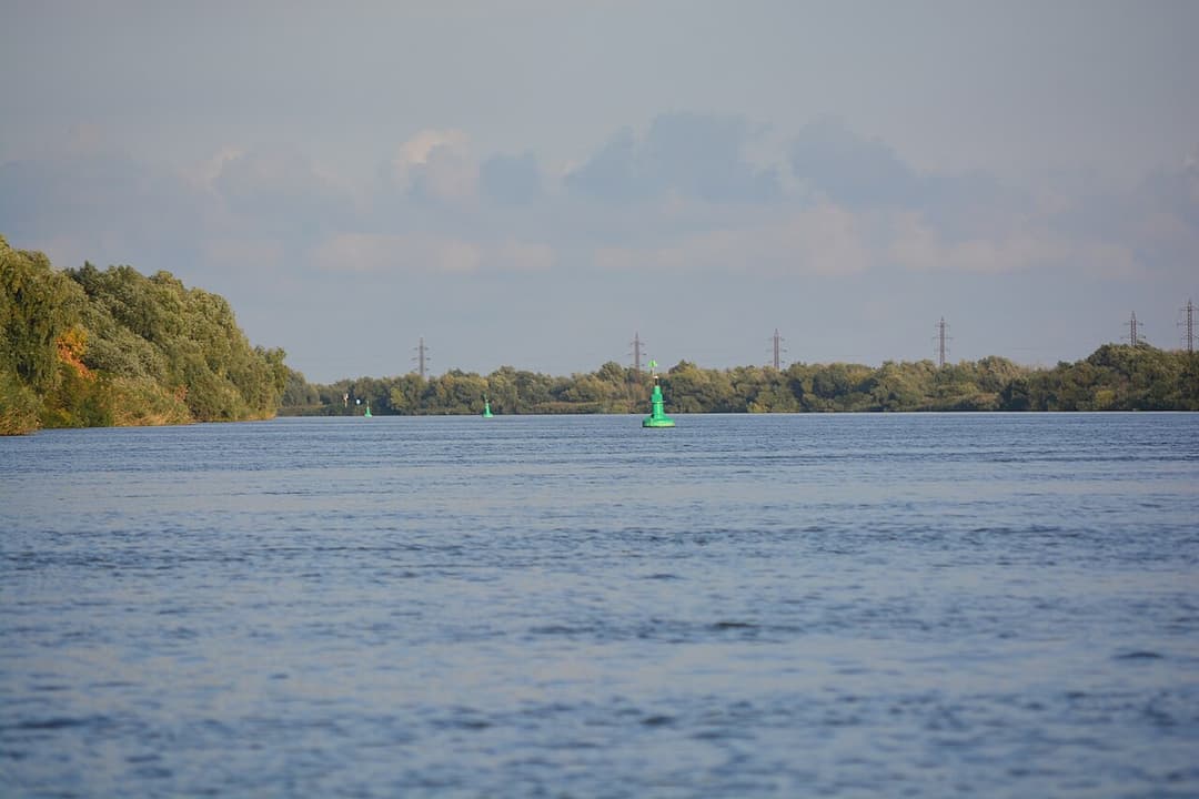
Romanian F-16 downs drone near Sfântu Gheorghe, July 25, 2026
Romanian F-16 shot down a Shahed-type drone 10 km west of Sfântu Gheorghe in the Danube Delta at 05:30 UTC on July 25, 2026 - Romania's second drone intercept in less than 24 hours. - 🇷🇴 · Jul 24, 2026 · Padina village
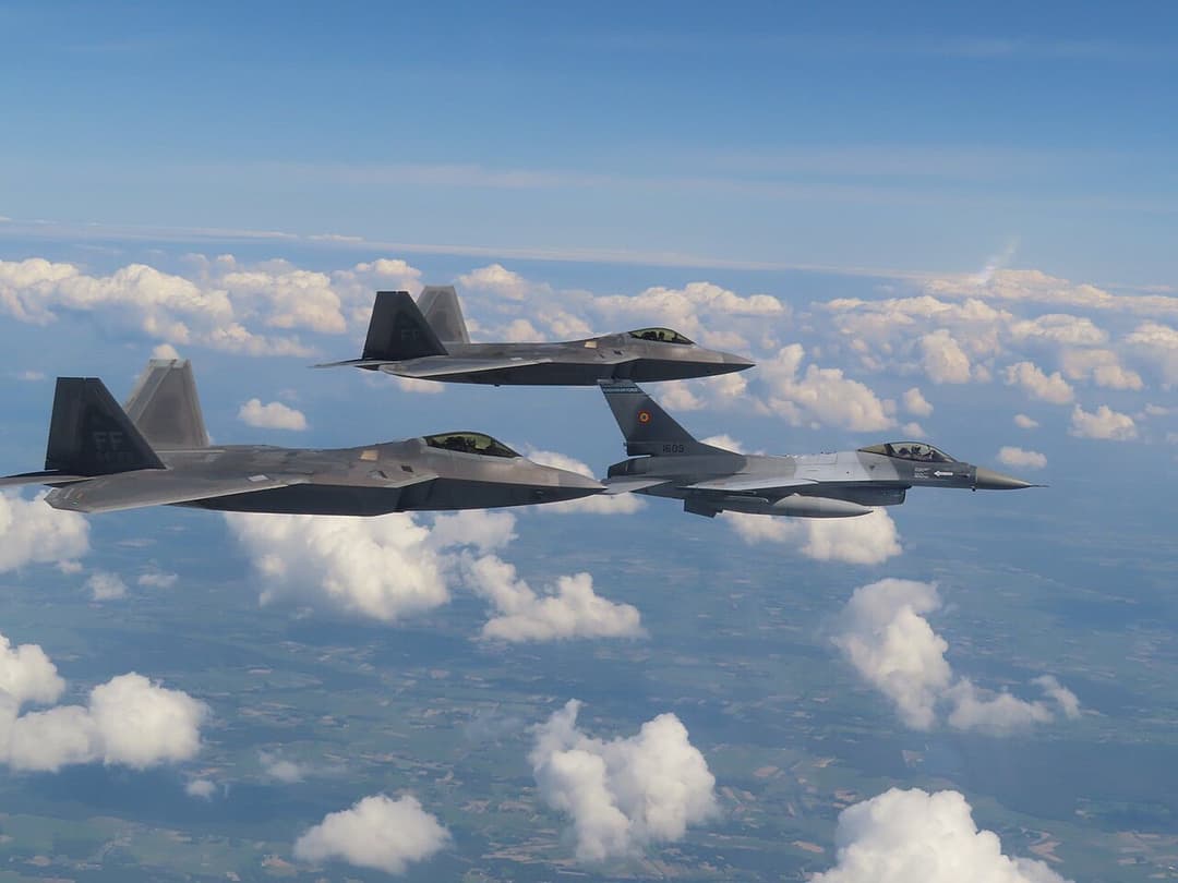
Romanian F-16 downs drone near Buzău, first over Romania
Romania's first drone intercept in its own airspace: F-16 from the 86th Air Base shot down an unidentified drone near Padina, Buzău county at 11:02 EEST on July 24, 2026. - 🇷🇴 · Jul 11, 2026 · Romanian Black Sea exclusive economic zone
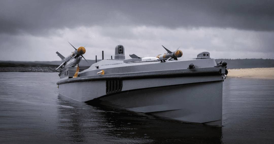
Romania - five naval drones destroyed in Black Sea, July 2026
Romanian forces detected and destroyed five Ukrainian naval drones in the Black Sea between May and July 2026, acting Defence Minister Radu Miruță disclosed on July 11, 2026. - 🇷🇴 · Jul 7, 2026 · Northern Tulcea County
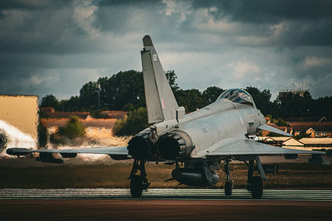
Tulcea drone alert, July 7, 2026 - Eurofighters scrambled
Romania issued a RO-Alert for northern Tulcea County on July 7, 2026 after radar detected a drone group near Snake Island; NATO Eurofighters scrambled and the alert was lifted after 73 minutes. - 🇷🇴 · Jun 5, 2026 · Port of Constanta

Ukrainian sea drone detonates at Constanta port
A Ukrainian Magura V5 sea drone self-detonated at Romania's Port of Constanta on June 5, 2026 after Russian EW jamming; 1,300+ evacuated, no injuries. - 🇷🇴 · May 28, 2026 · Bulevardul Brăilei
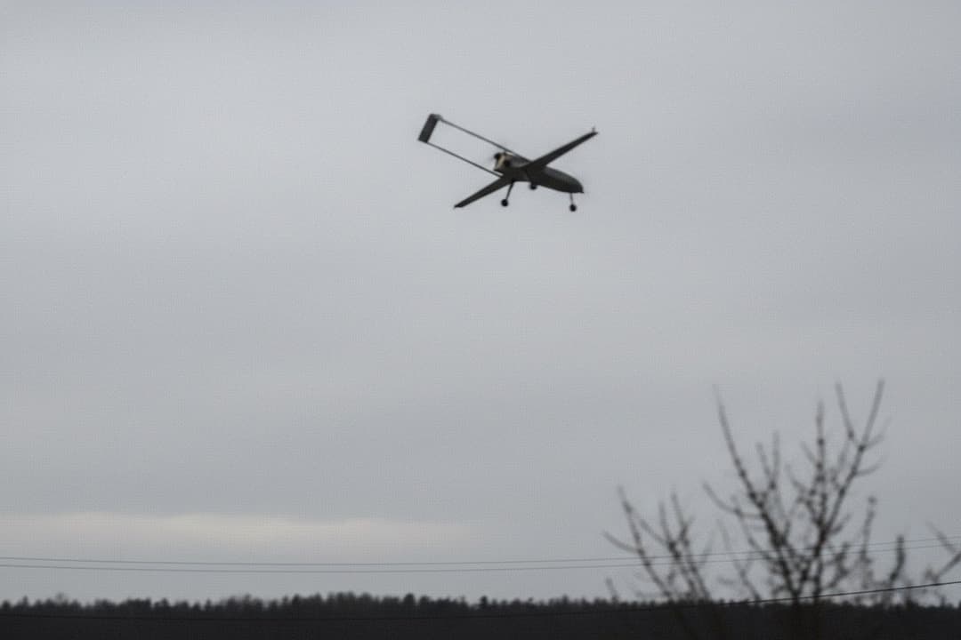
Russian Geran-2 strikes apartment block in Galați, Romania
A Russian Geran-2 drone hit a Galați apartment block on May 29, 2026, injuring two residents - the first Russian drone to injure civilians on NATO territory. - 🇷🇴 · Apr 25, 2026 · Bariera Traian
Ukrainian drone crashes in residential Galați, Romania
A Russian Geran-2 drone crashed in the Bariera Traian district of northern Galați on April 25, 2026, damaging a farm outbuilding and an electricity pole. No one was hurt. - 🇷🇴 · Mar 25, 2026 · Parcheș
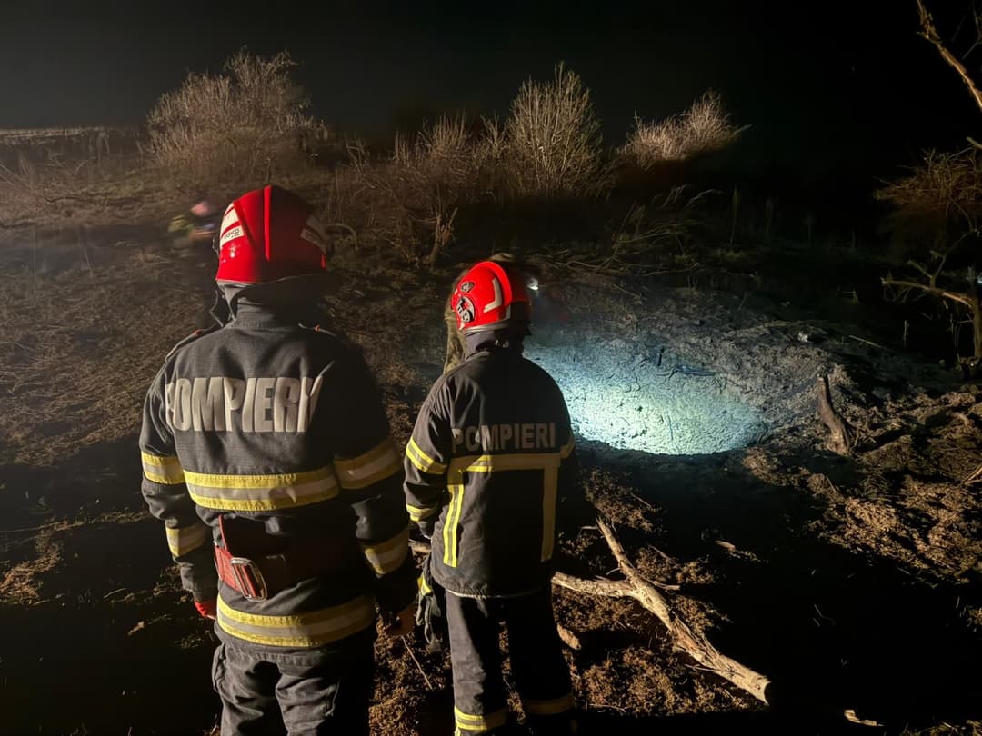
Ukrainian drone found crashed near Parcheș, Tulcea, Romania
A Russian Geran/Shahed strike drone crashed near Parcheș, Tulcea County, Romania at 00:44 local on March 26, 2026, after crossing 4 km into Romanian territory. No casualties or damage were recorded. - 🇷🇴 · Feb 25, 2026 · Sfântu Gheorghe
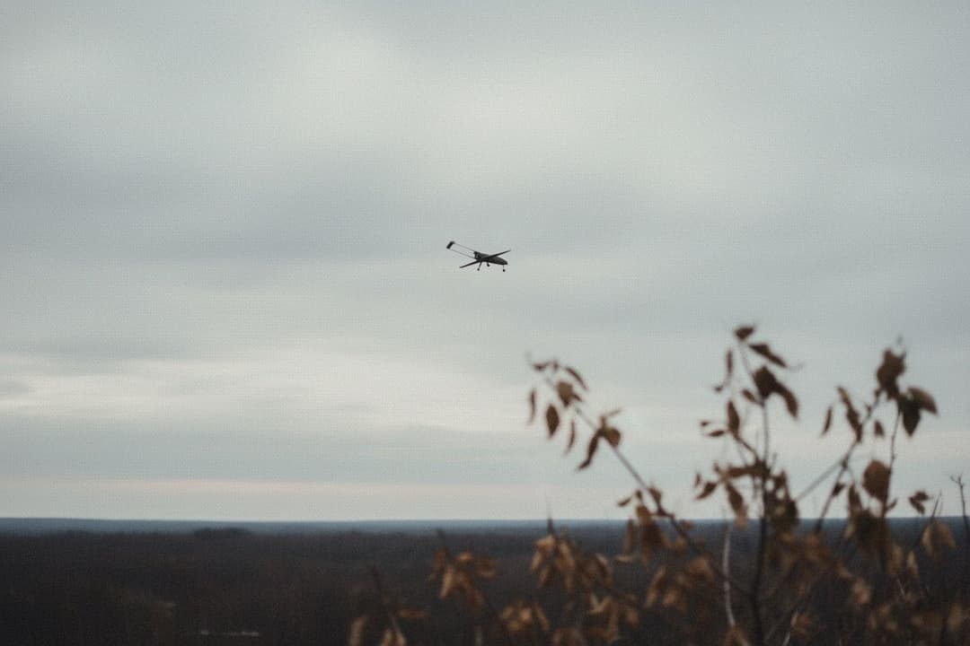
Drone enters Romanian airspace near Sfântu Gheorghe, Tulcea
A Russian Shahed/Geran-type strike drone entered Romanian airspace near Sfântu Gheorghe, Danube Delta, on February 25, 2026, and exited over the Black Sea near Sulina without dropping debris on land. - 🇷🇴 · Jan 18, 2026 · Tănăsoaia
Drone lands near Tănăsoaia - first in Vrancea County, Romania
Drone fragments were found in Tănăsoaia, Vrancea County on January 18, 2026 - the first confirmed drone find in Vrancea, adding a new county to Romania's airspace-violation record. - 🇷🇴 · Nov 25, 2025 · Puiești
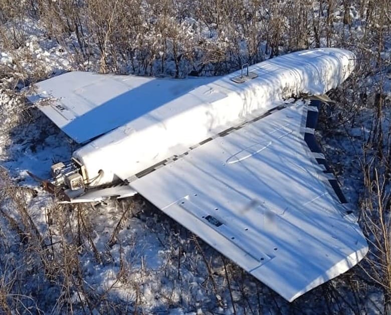
Gerbera decoy found 100 km inland near Puiești, Romania
A Gerbera-type Russian drone crashed 100+ km inland near Puiești, Vaslui County on November 25, 2025, found by a resident behind their house; no warhead, first confirmed daylight breach in Romania. - 🇷🇴 · Nov 19, 2025 · Tulcea-Galați border zone
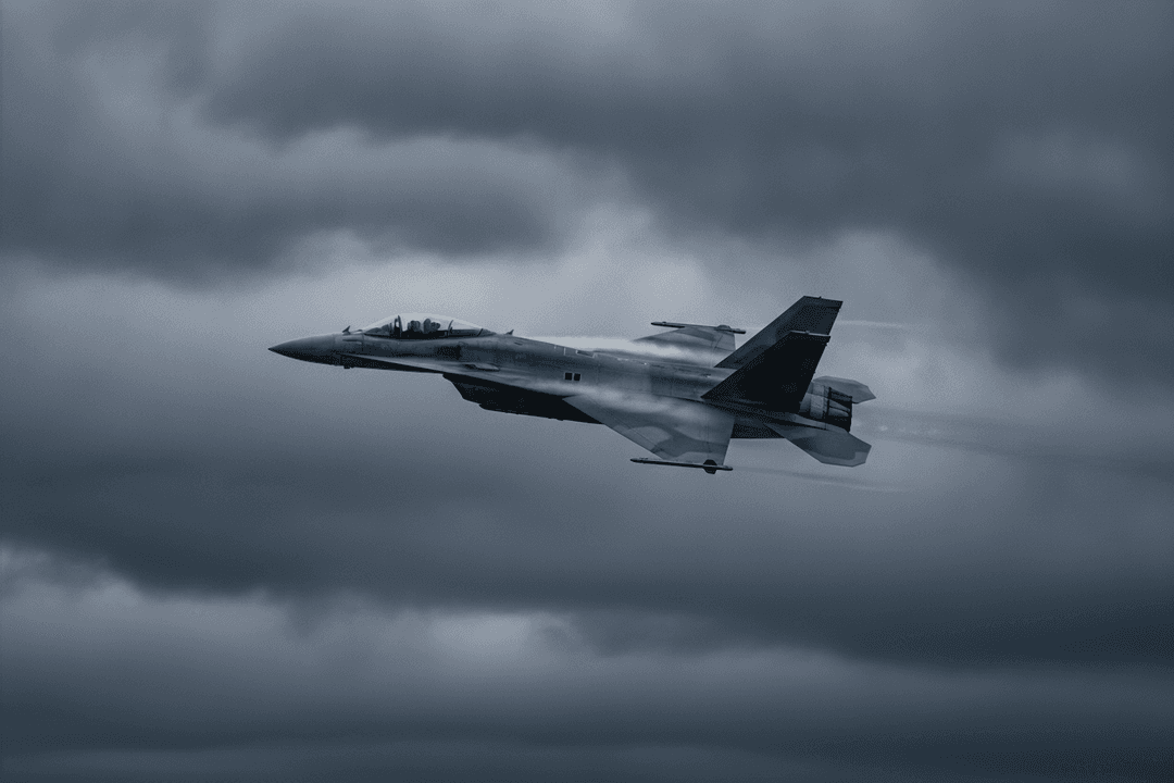
Romania scrambles four jets over Tulcea-Galați, drone vanishes
A drone penetrated 8 km into Romanian NATO airspace near Tulcea-Galați on November 19, 2025; two Romanian F-16s and two German Eurofighters were scrambled. Origin uncertain, no wreckage recovered. - 🇷🇴 · Nov 9, 2025 · Grindu
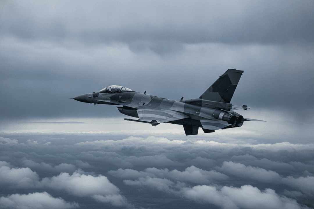
Drone crash near Grindu grounds Romanian jets, triggers RO-Alert
A drone crashed near Grindu, Tulcea County on November 10, 2025; weather grounded Romanian F-16s and the jets were not scrambled. RO-Alert issued at 00:07, debris confirmed at the site. - 🇷🇴 · Sep 13, 2025 · Chilia Veche
Drone loiters over Chilia Veche, Romania for 50 minutes
A Russian drone entered Romanian NATO airspace near Chilia Veche on September 13, 2025 and loitered for 50 minutes before returning to Ukraine; four NATO jets scrambled but did not intercept it.
Related reading
Methodology: see /about/methodology. AirVeto is situational awareness and decision support, used alongside official systems. It does not replace them.