
Romania scrambles four jets over Tulcea-Galați, drone vanishes
A drone penetrated 8 km into Romanian NATO airspace near Tulcea-Galați on November 19, 2025; two Romanian F-16s and two German Eurofighters were scrambled. Origin uncertain, no wreckage recovered.
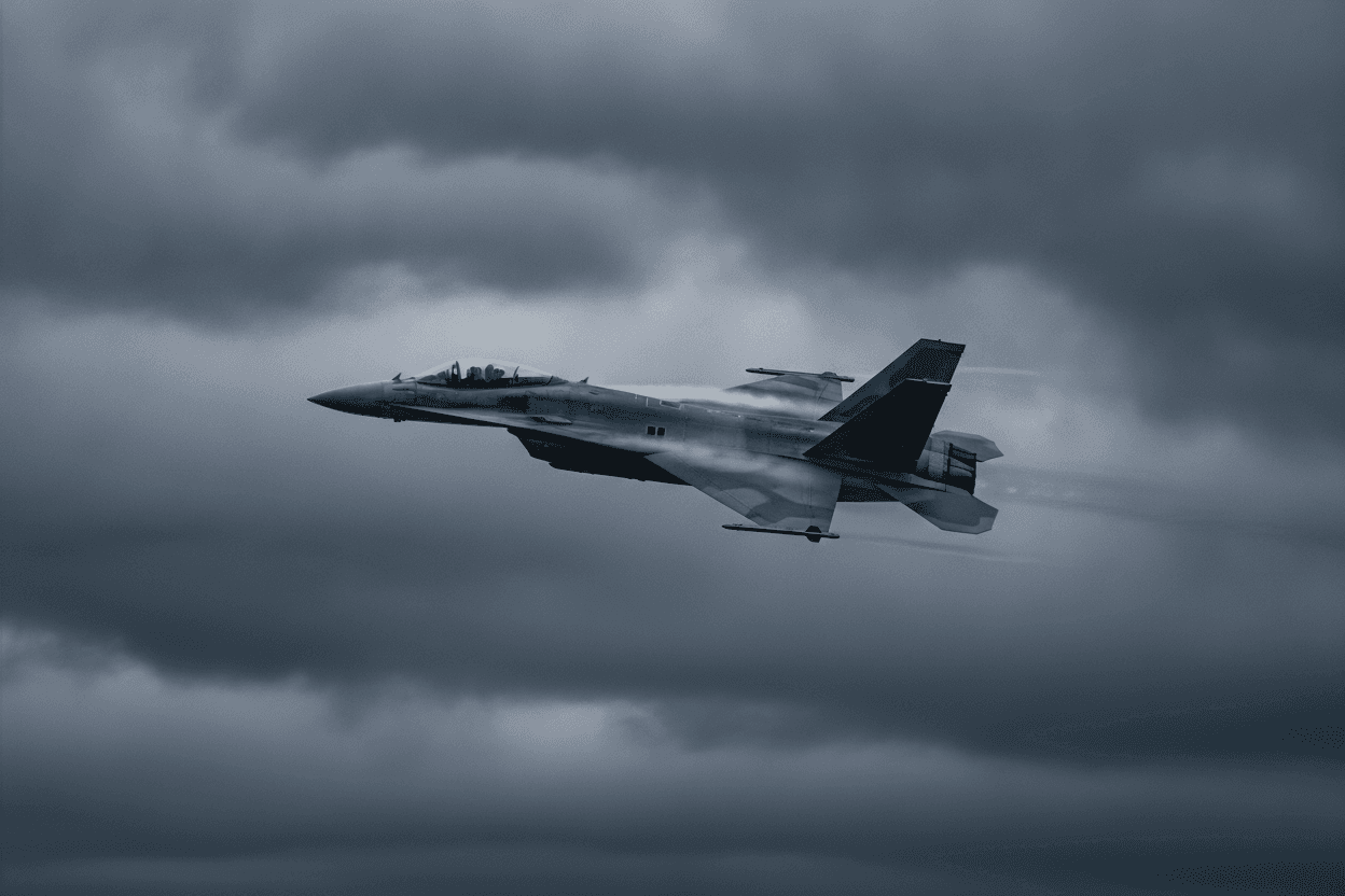
According to ABC News and the Defense Post, a drone penetrated Romanian NATO airspace by approximately 8 km in the Tulcea-Galați border zone from approximately 00:00 UTC on November 19, 2025. Romania scrambled two F-16s and Germany contributed two Eurofighters from the NATO air-policing detachment - a total of four jets. The drone's origin was assessed as uncertain; no wreckage was recovered. The incident falls between the Grindu crash on 10 November (9 days earlier) and the Puiești penetration on 25 November (6 days later), establishing a three-event cluster in Romania within 15 days. AirVeto's wind reconstruction at 1,000 m covers the Tulcea-Galați border zone during the overnight window of November 19, 2025.
8 km penetration into the Tulcea-Galați border zone
The Tulcea-Galați border zone is where the northern Danube Delta transitions to the main river channel on its way to the Black Sea. The Ukrainian bank across the Danube at this latitude is Izmail Oblast; the Romanian bank is divided between Tulcea and Galați counties. The narrowest point of the Danube in this section is approximately 300 m wide - effectively a surface that divides NATO territory from Ukrainian-controlled territory by a river crossing rather than a land frontier.
An 8 km penetration from this crossing point puts the drone's deepest point within the agricultural and marshy terrain of the Romanian side of the delta, still well short of any significant population centre. The zone is lightly populated; the RO-Alert system coverage here is relevant primarily for the few thousand residents of small riverside settlements.
Four jets scrambled - but no wreckage recovered
The deployment of four jets - two Romanian and two German - is the full NATO air-policing response for the Romanian sector. Despite the four-aircraft response and the 8 km penetration depth, no wreckage was recovered. This distinguishes the Tulcea-Galați event from the Grindu crash (debris confirmed) and the Puiești crash (drone found intact): the November 19 drone tracked into Romanian airspace, prompted a full military response, and then either returned toward Ukraine, descended into the Danube, or landed in terrain where ground recovery was not possible or not successful.
Origin uncertain - the classification challenge
The "origin uncertain" assessment from Romanian authorities on the November 19 drone is uncommon. Earlier events had been attributed to Russia with reasonable confidence (Russian-type drones from the direction of Russian-occupied Ukrainian territory). The "uncertain" classification suggests either a less distinctive radar signature, an ambiguous approach angle, or a drone type that could fit multiple attribution scenarios. No classification of the drone type was publicly announced.
Wind layer at 1,000 m over the Tulcea-Galați border zone on 19 November
AirVeto's wind reconstruction covers the region at 1,000 m over the Tulcea-Galați border zone during the overnight window of November 19, 2025. The embed above renders the wind field; methodology is described on the AirVeto methodology page.
Romanian three-event November 2025 cluster
The November 10–25 cluster in Romania was the densest three-event sequence in the country's airspace-violation record:
- Grindu drone crash, November 10, 2025 - weather grounded jets; first failure to scramble
- Tulcea-Galați drone, November 19, 2025 - this page
- Puiești drone crash, November 25, 2025 - deepest NATO penetration, 100+ km inland
Related location
- Romania - Romania, a NATO member since 2004, shares a Danube-river border with Ukraine at the Black Sea delta and has repeatedly recorded drone debris, intercepts, and naval-drone incidents along that frontier and its Black Sea coast since September 2025.
Sources
Last updated: