
Drone crash near Grindu grounds Romanian jets, triggers RO-Alert
A drone crashed near Grindu, Tulcea County on November 10, 2025; weather grounded Romanian F-16s and the jets were not scrambled. RO-Alert issued at 00:07, debris confirmed at the site.
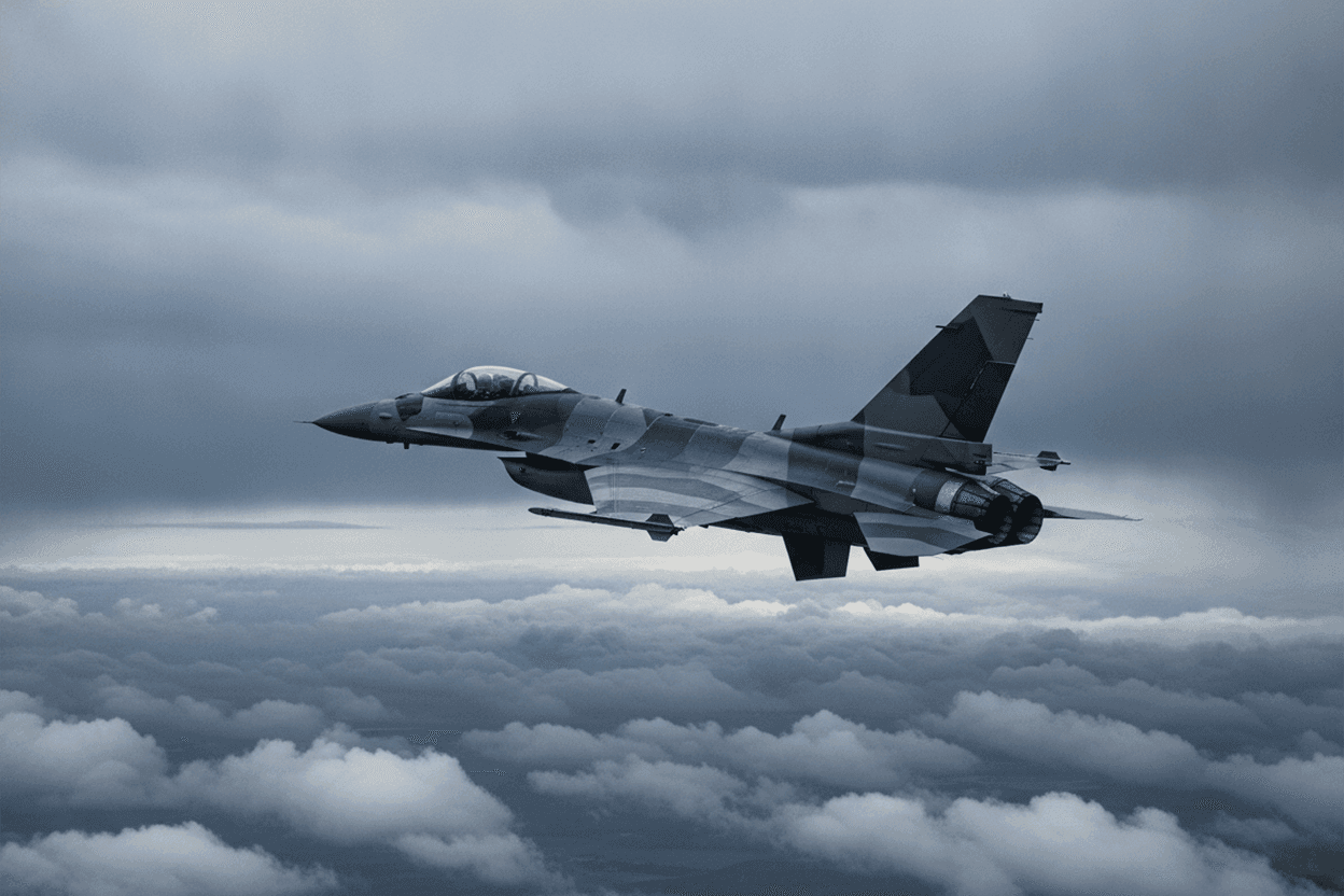
According to Romania Insider and Euromaidan Press, a drone crashed near Grindu, Tulcea County, at approximately 22:00 UTC on November 9, 2025 (midnight local on 10 November). Romanian military confirmed that for the first time in Romania's documented airspace-violation series, the Romanian F-16s were not scrambled - weather conditions at the airfields grounded the jets. A RO-Alert emergency SMS notification was sent to mobile phones in the affected area at 00:07. Debris was confirmed at the crash site. AirVeto's wind reconstruction at 1,000 m covers the Tulcea area during the November 9–10 overnight window.
The first Romanian failure to scramble - what the weather produced
Every previous confirmed drone incursion over Romania's Danube Delta had been met with a Romanian Air Force scramble - F-16s launching from Câmpia Turzii (primary) or Borcea, with German Eurofighters joining from their NATO Air Policing detachment. The Grindu event on the night of November 9–10, 2025 broke that record: adverse weather conditions at the relevant airfields made launching unsafe, and the jets remained grounded.
The weather in November over southeastern Romania can include low cloud base, reduced visibility, and precipitation - conditions that, at F-16 operating minima, can ground aircraft even when operational necessity is high. The specific conditions on the night of 9–10 November were not publicly detailed by Romanian Air Force sources, but the outcome - no scramble - was confirmed.
This created a perverse outcome: the drone crossed, crashed, and produced debris, but no Romanian or allied aircraft was in the air to track its trajectory, collect imagery, or shadow it. The only data came from radar and the post-crash debris field.
RO-Alert at 00:07 - the public-warning system
The RO-Alert system - Romania's cell-broadcast emergency notification network - sent a message to mobile phones in the Grindu and surrounding area at 00:07 local time. RO-Alert messages use Cell ID broadcast, reaching all phones in the relevant base-station coverage area regardless of subscriber registration. The 00:07 timestamp suggests radar detected the incursion shortly before midnight and the alert was issued within minutes of confirmation.
The Romanian government had been criticised earlier in 2025 for slow or absent public alerts during drone events; the sub-10-minute RO-Alert at Grindu represented an improvement in the public-warning loop.
Debris confirmed at the crash site
Romanian authorities confirmed the presence of drone debris at the Grindu site after the crash. The debris assessment - establishing that a drone had physically impacted at this location rather than simply being tracked and lost - is what triggers the explosion marker in AirVeto's classification (physical impact with no confirmed airborne warhead detonation, but a crash). The type of drone was not publicly confirmed; the Grindu crash site's proximity to the Danube Delta and the standard flight routes from Russian-occupied Ukrainian territory is consistent with Shahed-class or Gerbera-class vehicles.
Wind layer at 1,000 m over Tulcea on 9–10 November
AirVeto's wind reconstruction covers the region at 1,000 m over the Tulcea area during the overnight window of November 9–10, 2025. The embed above renders the wind field; methodology is described on the AirVeto methodology page. This reconstruction is based on reporting by Romania Insider, Euromaidan Press, and Euronews, and on AirVeto's wind-model analysis for the overnight window of November 9–10, 2025.
Related Romanian incidents
Related location
- Romania - Romania, a NATO member since 2004, shares a Danube-river border with Ukraine at the Black Sea delta and has repeatedly recorded drone debris, intercepts, and naval-drone incidents along that frontier and its Black Sea coast since September 2025.
Sources
- Romania Insider - Drone crashes near Grindu; Romania unable to scramble jets due to weather (November 10, 2025)
- Euromaidan Press - First time Romania failed to scramble jets during drone incursion - weather grounded F-16s (November 2025)
- Euronews - Romanian drone crash: jets grounded by weather for first time; RO-Alert issued (November 10, 2025)
- Methodology
Last updated: