
Tulcea drone alert, July 7, 2026 - Eurofighters scrambled
Romania issued a RO-Alert for northern Tulcea County on July 7, 2026 after radar detected a drone group near Snake Island; NATO Eurofighters scrambled and the alert was lifted after 73 minutes.
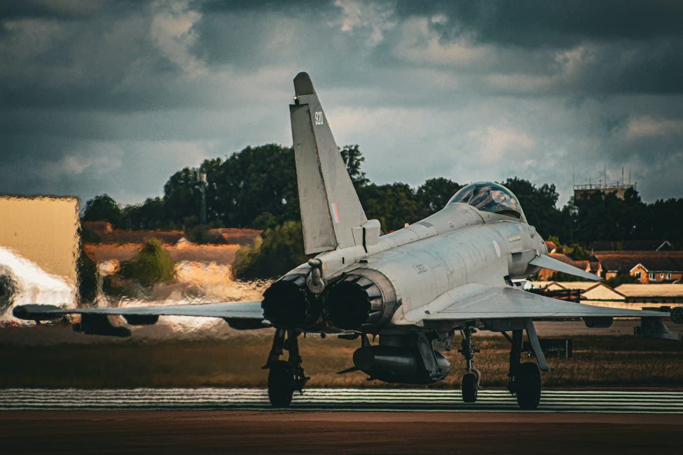
Romania's Ministry of National Defence (MApN) detected a group of aerial targets approximately 20 km east of Snake Island, Ukraine, at 09:52 local time (06:52 UTC) on July 7, 2026. Two Italian Air Force Eurofighter Typhoon jets flying NATO Air Policing missions out of the 57th Air Base at Mihail Kogălniceanu scrambled at 10:25 local time (07:25 UTC). Romania's National Military Command Centre issued a RO-Alert to residents of northern Tulcea County at 10:29 local time (07:29 UTC). The alert warned of a risk of falling objects. This reconstruction is based on reporting by GlobalSecurity.org's republication of the MApN press release, BTA, and Digi24, and AirVeto's wind-model data for the event window.
Two Eurofighters monitored the drone group without an airspace incursion
The Eurofighter Typhoons remained on station to monitor the tracked group after the scramble. MApN's statement recorded no unauthorized incursion into Romanian national airspace and no aerial vehicle impacting the ground anywhere in the alerted area. The RO-Alert was lifted at 11:05 local time (08:05 UTC), 73 minutes after the RO-Alert was issued and 43 minutes after the fighters scrambled. MApN said it briefed allied structures on the event in real time, consistent with Romania's standing practice of notifying NATO command as Black Sea drone activity is detected.
The alert is part of a wider pattern of Black Sea drone activity reaching Romanian airspace
Days later, Romania's acting Defence Minister Radu Miruță disclosed that Romanian forces had destroyed five Ukrainian naval drones in the Black Sea between May and July 2026, documented in Romania's five naval drones disclosure, July 11, 2026. That disclosure and the Tulcea alert are separate incidents: the naval drones were maritime surface vessels destroyed at sea, while the 7 July event was an aerial radar detection with no confirmed drone type or nationality. Both point to the same geography, since Snake Island and the Romanian Black Sea coast sit directly beneath the transit route for Ukrainian long-range strikes on Russian Black Sea Fleet and Crimea-based targets, and for Russian counter-strikes on Ukrainian Danube ports.
The alert also follows a Russian aerial drone striking a Galati apartment building on May 29, 2026 and the Constanta port drone detonation of June 5, 2026. Tulcea and Constanta counties are now the most frequently alerted Romanian territory in the 2026 Black Sea spillover pattern.
This reconstruction draws on reporting by GlobalSecurity.org, BTA, and Digi24, and on AirVeto's wind-model data for the 06:52-08:05 UTC window on July 7, 2026. The wind layer shows atmospheric conditions over northern Tulcea County for the alert window. Methodology: methodology page.
Related location
- Romania - Romania, a NATO member since 2004, shares a Danube-river border with Ukraine at the Black Sea delta and has repeatedly recorded drone debris, intercepts, and naval-drone incidents along that frontier and its Black Sea coast since September 2025.
Sources
- GlobalSecurity.org - Romanian Ministry of National Defence press release (7 Jul 2026)
- BTA - Romania Detects Drone Group Near Snake Island in Black Sea (7 Jul 2026)
- Digi24 - RO-Alert în Tulcea: Radarele MApN au detectat un grup de drone lângă Insula Șerpilor (7 Jul 2026)
- Gândul - Locuitorii din Tulcea, sub avertizare RO-Alert (7 Jul 2026)
- Methodology
Last updated: