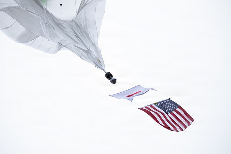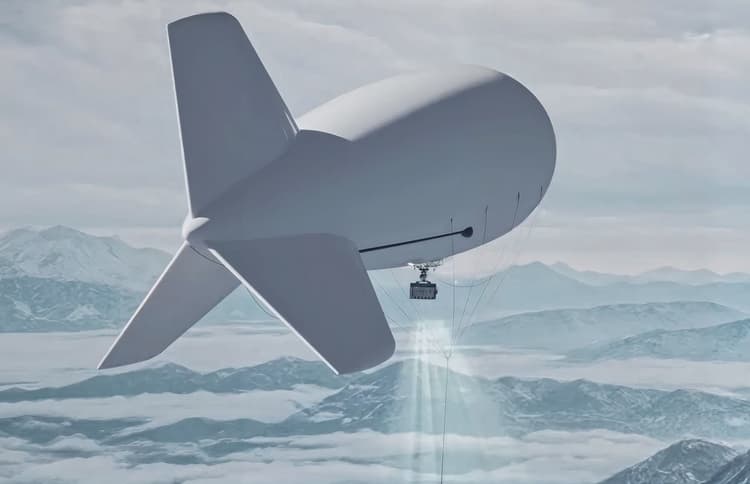
Europe's AI airspace analyst
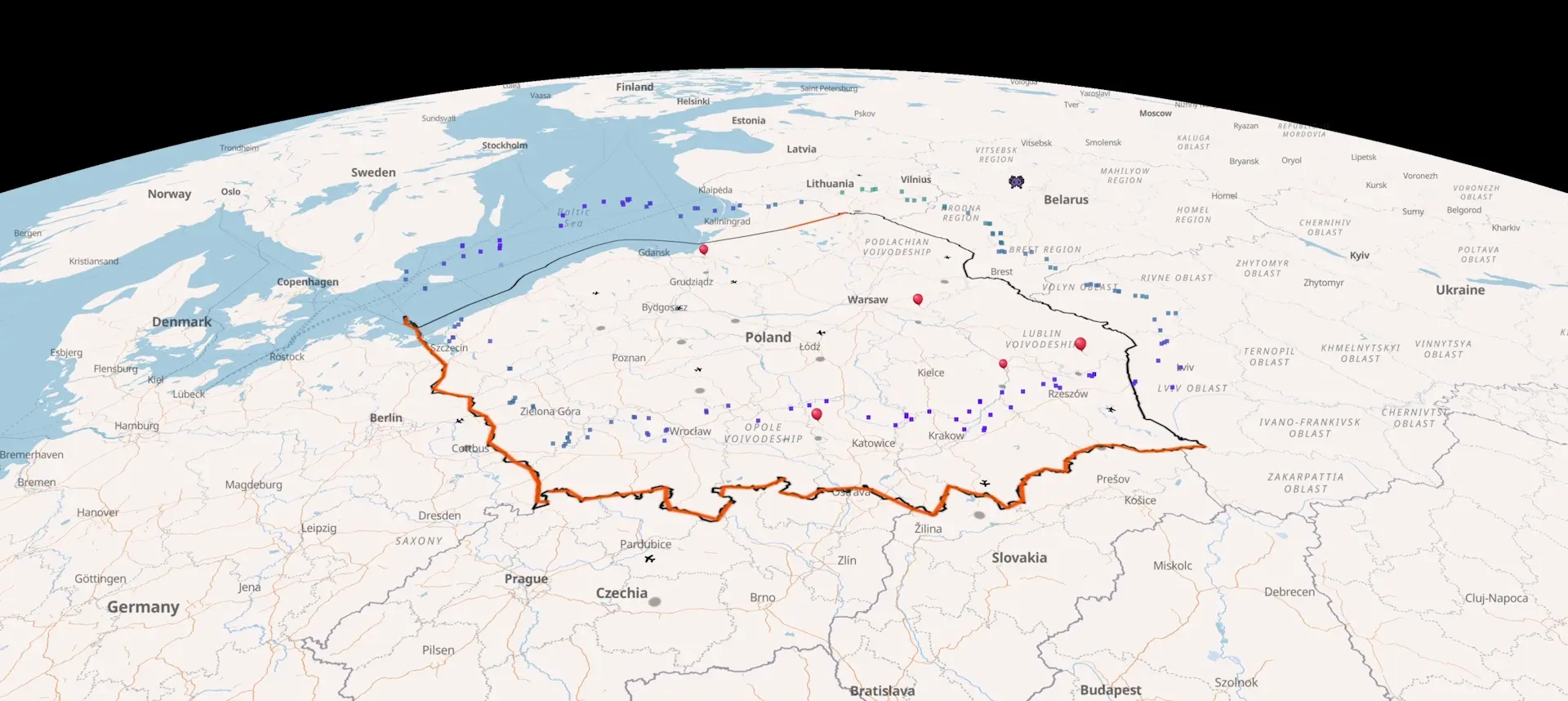
One map for your sensors, live wind and air traffic along the EU’s eastern border. Spot cross-border drift up to 3 days ahead and plan your units around it.
Tell it what you need. It plans the map
Europe's AI airspace analyst reads the wind at 8 heights, aircraft, drone zones and every reconstructed incursion. It places your sensors and interceptor sites on the map and briefs you; you decide.
Recent cross-border balloon and aircraft incidents.
Recent reported incidents - the event location, the wind at the time where reconstructed, and links to primary sources. Each entry is its own page, with a deep link to the event location on the live map.
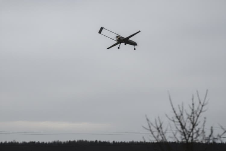
Four airspace entries off Sulina, Romania, 14-15 Oct 2026
Romania's defence ministry logged four entries into national airspace off Sulina between the morning of October 14 and 01:34 on October 15, 2026; Ukrainian air defence shot down two targets.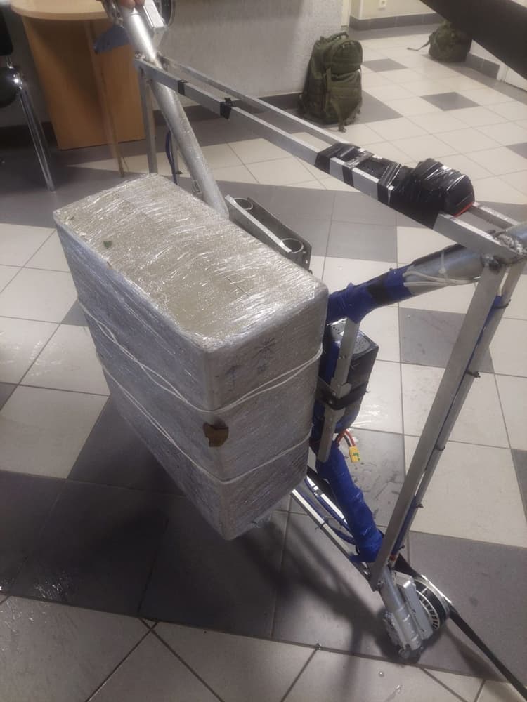
Two drones at Adutiškis and Šiulgiai, October 9-11, 2026
VSAT border guards took control of two cigarette-carrying drones from Belarus on the nights of October 9 and 10, 2026, and say they have landed 63 drones this year.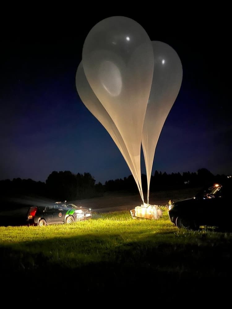
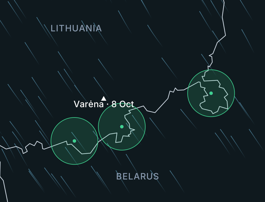
Lithuania balloon cargos, Oct 8 - nine, 55,490 packs
Border guards and police intercepted nine balloon-borne cigarette cargoes from Belarus in four Lithuanian districts overnight and on the morning of October 8, 2026.Our focus regions.
EU–Belarus land border
Poland, Lithuania, and Latvia share over 1,200 km of EU-external border with Belarus. Wind at eight altitudes, 80 m to 7 km, from Białowieża to the Latvian frontier.
Suwałki Gap
The 65-km land bridge between Kaliningrad and Belarus - the narrowest link between the Baltic states and the rest of NATO.
Kaliningrad
The Russian exclave bordered by Poland, Lithuania, and the Baltic Sea - it flanks the Suwałki Gap from the west.
Vilnius International Airport
Lithuania's main airport, 30 km from the Belarusian border - repeatedly closed by balloon incursions since October 2025.
Gulf of Finland
Baltic arm between Estonia and Finland, closed to the east by Russia - GPS-spoofing reports, and stray drone intercepts.
Baltic states–Russia border
Estonia's Narva line, Lake Peipus, and Latvia's eastern frontier - the EU's direct land boundary with Russia.
Poland, Lithuania, and Latvia share over 1,200 km of EU-external border with Belarus. Wind at eight altitudes, 80 m to 7 km, from Białowieża to the Latvian frontier.
MoreLatest briefs.
From balloon incursions over Polish airspace to drone events near Vilnius and Suwalki Gap overflights - reconstructed from ADS-B tracks, wind models, and open-source evidence. For OSINT analysts and defence journalists covering Baltic security.