
The Gulf of Finland is the easternmost arm of the Baltic Sea, separating Estonia (south shore) from Finland (north shore), and closed to the east by the Russian coast at the head of the gulf. It is one of Europe's busiest shipping lanes (tankers routing from St. Petersburg and other Russian Baltic ports pass through daily) and has been the site of repeated GPS-spoofing and AIS-interference reports along the Russian side.
On AirVeto, the Gulf of Finland is read through its wind field. Combine the rendered wind at the altitude of interest with a reported track to check whether a reported drift pattern is physically consistent.
Wind in the gulf is altitude-sensitive in a characteristic way: surface flow is shaped by the narrow channel and coastal terrain, while the 1,500–3,000 m field is closer to the regional synoptic pattern. Questions about coastal ship navigation care about the former; questions about regional airflow between Estonia and Russia care about the latter.
The gulf has also become a transit zone for the off-course drones that have crossed into Baltic airspace through 2026. Ukrainian long-range strike drones aimed at the Russian oil terminals at Ust-Luga and Primorsk, both on or near the gulf, lose navigation lock under Russian electronic warfare and stray south over Estonia. For those events the gulf's regional wind field at 1,500 to 3,000 m is context for the final, uncontrolled leg of the flight, not a release-point reconstruction; a powered drone becomes wind-dependent only after its guidance fails.
GPS spoofing is the gulf's other defining signal. Reports of position interference along the Russian side are persistent, and they show up as vessel tracks that disagree with physics - jumping position, sitting motionless mid-lane, or drifting in a direction the wind and current cannot account for. Checking a reported track against the rendered surface wind is the practical test: a drift the wind field cannot explain is a flag worth a second look.
As elsewhere on AirVeto, the gulf view is an analytical layer, not a monitoring service. It shows the wind context for a question already being asked - whether a reported track, drift, or incursion is physically consistent with the conditions at the time. It does not raise alerts of its own.
Incidents at this location
- 🇪🇪 · May 19, 2026 · Kablaküla village
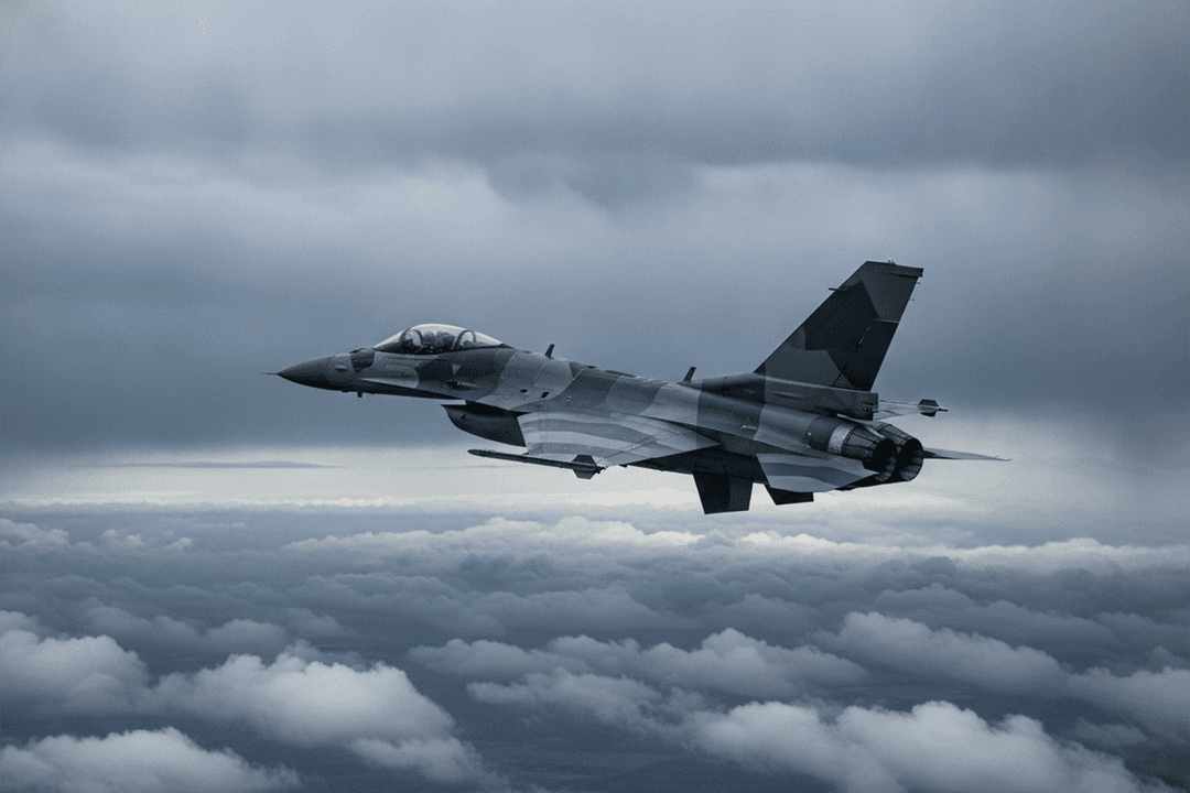
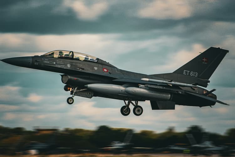
Romanian F-16 shoots down drone over Estonia, NATO first
On May 19, 2026, a Romanian NATO F-16 from the Baltic Air Policing detachment shot down an intruding drone near Kablaküla, Estonia - the first NATO fighter intercept of a drone over Baltic airspace. - 🇫🇮 · May 15, 2026 · Helsinki-Vantaa International Airport
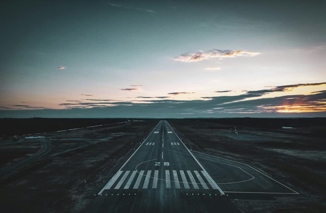
Drone closes Helsinki-Vantaa airport in first-ever HEL shutdown
A drone alert closed Helsinki-Vantaa airport 04:00–07:19 EEST on May 15, 2026, triggering shelter-in-place for 1.8 million people; flights diverted to Stockholm and Rovaniemi. - 🇫🇮 · Apr 11, 2026 · Perheniemi
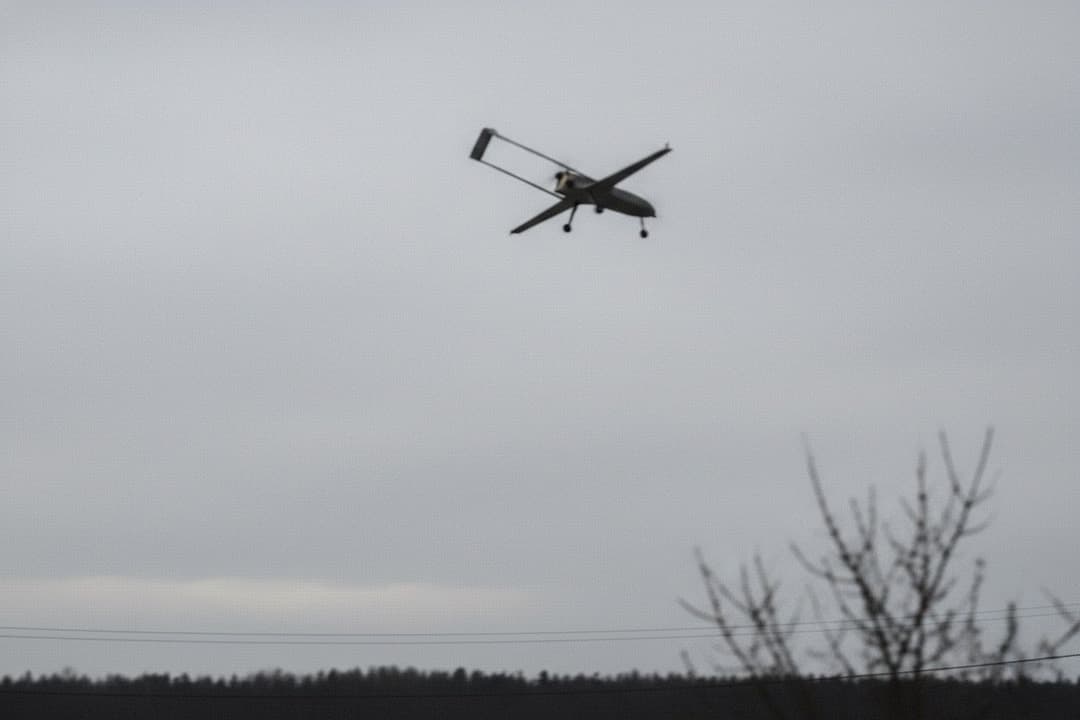
Ukrainian drone warhead detonates near Iitti, Finland
A Ukrainian drone with an unexploded warhead crashed in Perheniemi, Iitti, Finland on April 11, 2026; EOD detonated it around 20:00 EEST. NBI opened two probes. - 🇫🇮 · Mar 31, 2026 · Lake Pyhäjärvi
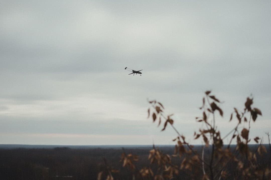
Ukrainian Chaika crashes into Finnish lake near Russia
A Ukrainian Chaika drone with an unexploded warhead crashed on frozen Lake Pyhäjärvi near Parikkala, Finland, on March 31, 2026, 2 km from the Russian border. - 🇪🇪 · Mar 30, 2026 · Lääne-Viru and Ida-Viru counties

Seven-county drone alert triggers EE-ALARM across Estonia
Estonia issued EE-ALARM across seven counties overnight on March 30–31, 2026 after the EDF reported potential drone sightings. A Finnair flight turned back; the alert cleared by 06:00 on 31 March. - 🇫🇮 · Mar 29, 2026 · Oravala
Ukrainian drones crash near Kouvola, Finland after EW jamming
Two Ukrainian drones crashed in southeastern Finland on March 29, 2026 after Russian EW jamming diverted them from a Ukrainian strike on Ust-Luga oil terminal. - 🇪🇪 · Mar 25, 2026 · Auvere power station
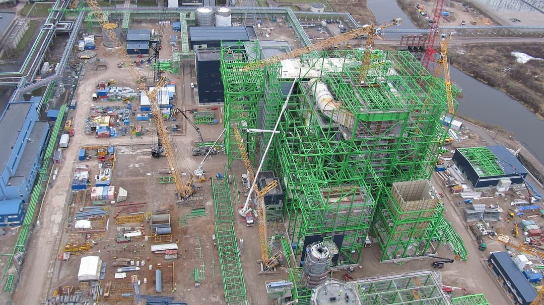
Ukrainian drone strikes Auvere power station, Estonia
A Ukrainian drone entered Estonia from Russia and struck the Auvere power station chimney on March 25, 2026. Energy transmission was unaffected and no one was hurt.
Related reading


Methodology: see /about/methodology. AirVeto is situational awareness and decision support, used alongside official systems. It does not replace them.