
Possible drone falls at Plauru, Tulcea, 2 Oct 2026
An object, possibly a drone, fell near Plauru in Tulcea County at about 05:00 on October 2, 2026 and started a field fire. Romania's defence ministry logged no radar entry.
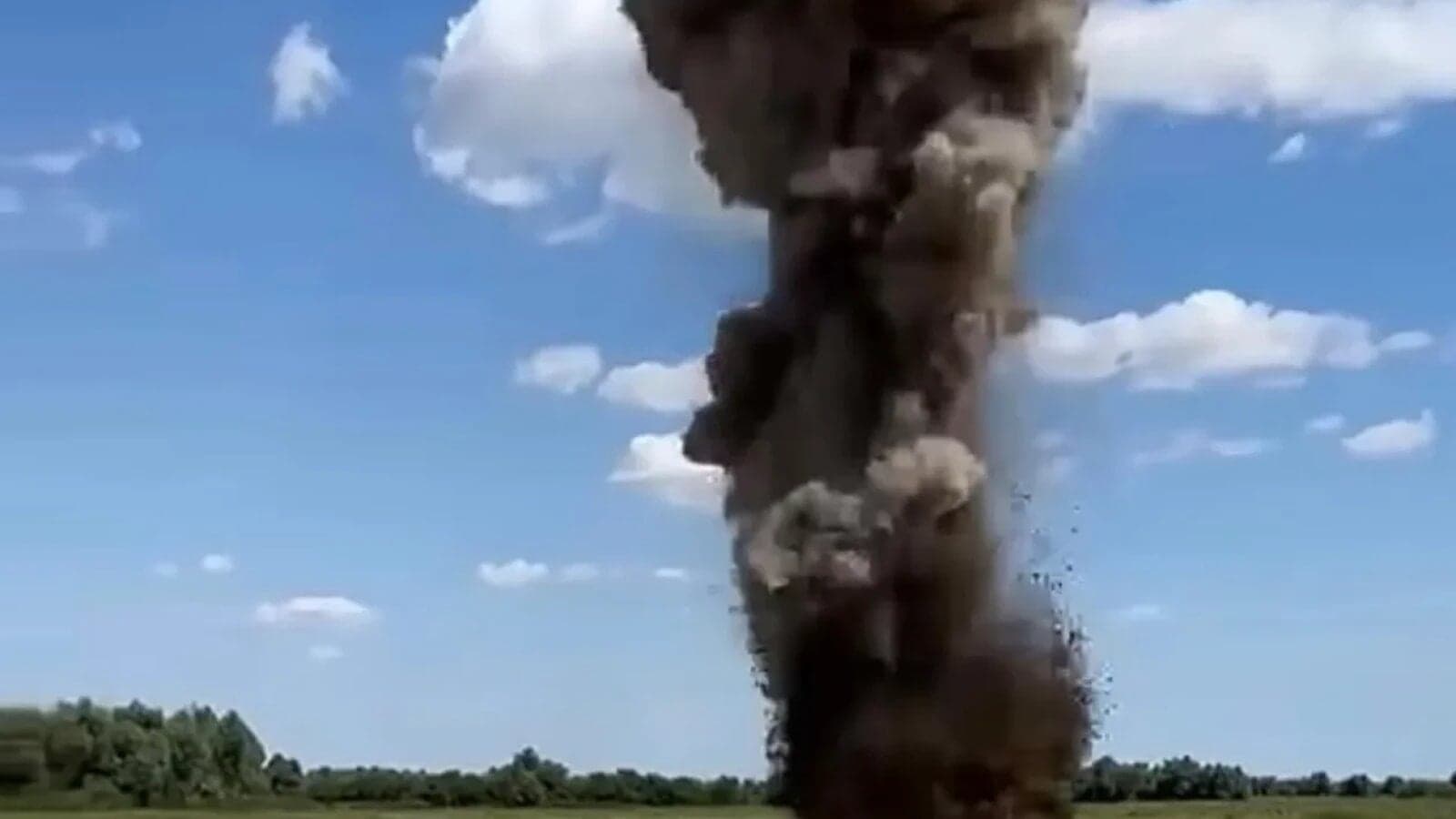
Romania's defence ministry (MApN) said an object, possibly a drone, fell near Plauru, Tulcea County, around 05:00 local time on October 2, 2026, and started a fire. MApN's radars logged no entry into Romanian airspace, and the mayor says no RO-Alert went out.
It is the second Plauru-area incident MApN has reported in 49 days, after a drone found on August 14 and destroyed by controlled detonation the next day. A separate alert followed on October 5. MApN named Vâlcove, a Ukrainian town 59.5 km east of Plauru by AirVeto's measurement, as its reference point for that alert.
The fire started on harvested farmland 1.5 km from homes
Ceatalchioi's mayor, Tudor Cernega, told Euronews Romania the object hit a harvested agricultural field behind the houses, 2 km from the Danube and 1.5 km from homes. The fire spread 200 to 300 meters along the edge of a canal. He told Agerpres that local volunteer firefighters had it out at about 06:00 or a little after, though crews were still finishing the job at 08:15.
MApN reported no victims and no material damage. A fire truck from the emergency inspectorate and MApN teams went to the site, the area was secured, and specialised MApN teams were due to examine it. The ministry has not said what the object was.
A local resident told Agerpres she went outside after a first blast a little after 03:00. Later, she said, she heard a drone close overhead, then a heavy blast and a flash of light. She did not know where it burned.
MApN logged no radar entry, and the mayor said no RO-Alert went out
MApN said its radars had picked up fresh drone strikes on civilian and infrastructure targets in Ukraine overnight, close to the river border in northern Tulcea County. The same statement said no radar had reported an unauthorised entry into national airspace that night. Spotmedia noted the same had happened the previous Tuesday, when a drone with an explosive charge fell on Insula Mare a Brăilei.
The mayor told Agerpres the drone crossed into Romania, passed Plauru and came down about 2 km from Ceatalchioi. No RO-Alert, Romania's phone-alert system, was sent, he told Euronews. Residents normally get one two or three times a night, and he called its absence surprising.
Defence Minister Radu Miruță said the Monday before that 49 unauthorised entries into Romanian airspace had been logged since the war began, 30 of them in 2026. Spotmedia reported his figures alongside the Plauru fall.
Plauru already had a drone on August 14
MApN reported a drone found in the area of Plauru on Friday, August 14, and a specialised team neutralised it by controlled detonation the next day. It was the second drone found in Tulcea County that Friday, after debris near Greci in the Măcin Mountains. The October 2 fall came 49 days later.
Agerpres reported that Ceatalchioi commune, which includes Plauru, has recorded the most fallen drones of any Romanian commune. The mayor told Euronews there have been days when three fell. AirVeto's archive has no page on either Plauru event. Its two nearest incidents are the March 2026 drone crash near Parcheș, 14.8 km away, and the November 2025 Tulcea-Galați drone, 8.8 km away.
An alert fired on October 5 for a target that never crossed
In the night of October 4 to 5, MApN's radar detected an aerial target east of Vâlcove, a Ukrainian town close to the Romanian frontier. Two Spanish Air and Space Force F-18s on enhanced air policing took off from the 57th Air Base at Mihail Kogălniceanu. A RO-Alert went to northern Tulcea County at 02:34 local time, and the air alert ended at 03:23, 49 minutes later. MApN again reported no entry into national airspace.
MApN gave no distance for the target. Vâlcove sits 59.5 km east of Plauru in a straight line, so the reference point for October 5 is far from the village where the October 2 object came down. Northern Tulcea County saw a fall with no alert on October 2 and an alert with no reported entry on October 5.
Wind over Plauru blew from the northeast before dawn
At 04:00 local time on October 2, the nearest hour in AirVeto's model snapshot, the wind at 1,000 m blew from the NE at 36 km/h. At 2,000 m it also came from the NE, at 42 km/h. At 3,000 m it came from the NE at 42 km/h.
This reconstruction is based on reporting by the Romanian Ministry of National Defence, Euronews Romania, AGERPRES, Spotmedia, Stiripesurse, Adevărul and Antena 3 CNN. It also uses AirVeto's wind-model data for the 01:30-03:30 UTC window on October 2, 2026. How the model is built is on the methodology page. Every drone and airspace event AirVeto has reconstructed along the EU's eastern border is in the incident archive.
Sources
- Romanian Ministry of National Defence - Press information (2 Oct 2026)
- Euronews Romania - A drone fell between Plauru and Ceatalchioi, Tulcea County, and started a fire (2 Oct 2026)
- AGERPRES - Tulcea report: at Ceatalchioi even the animals have got used to the sound of explosions and drones (2 Oct 2026)
- Spotmedia - A drone fell in Tulcea although radars did not detect it crossing the border (2 Oct 2026)
- Antena 3 CNN - The drone found on a field at Plauru was detonated; the neutralisation was filmed (15 Aug 2026)
- Stiripesurse - VIDEO Explosion in Tulcea: MApN controlled-detonated the drone found a day earlier at Plauru (15 Aug 2026)
- Stiripesurse - Drone found near Plauru, Tulcea County, safely destroyed in controlled detonation - MApN (15 Aug 2026)
- Adevărul - The drone found at Plauru, in Tulcea, was destroyed by controlled detonation by MApN specialists (15 Aug 2026)
- Romanian Ministry of National Defence - Press information (5 Oct 2026)
- Methodology