
Royad Mammadov sinking, Oct 5, 2026 - Romania's Black Sea zone
A Turkish-owned grain ship, the Royad Mammadov, caught fire and sank about 30 nautical miles south of Sfântu Gheorghe on October 5, 2026. Ukraine blames two Russian drones.
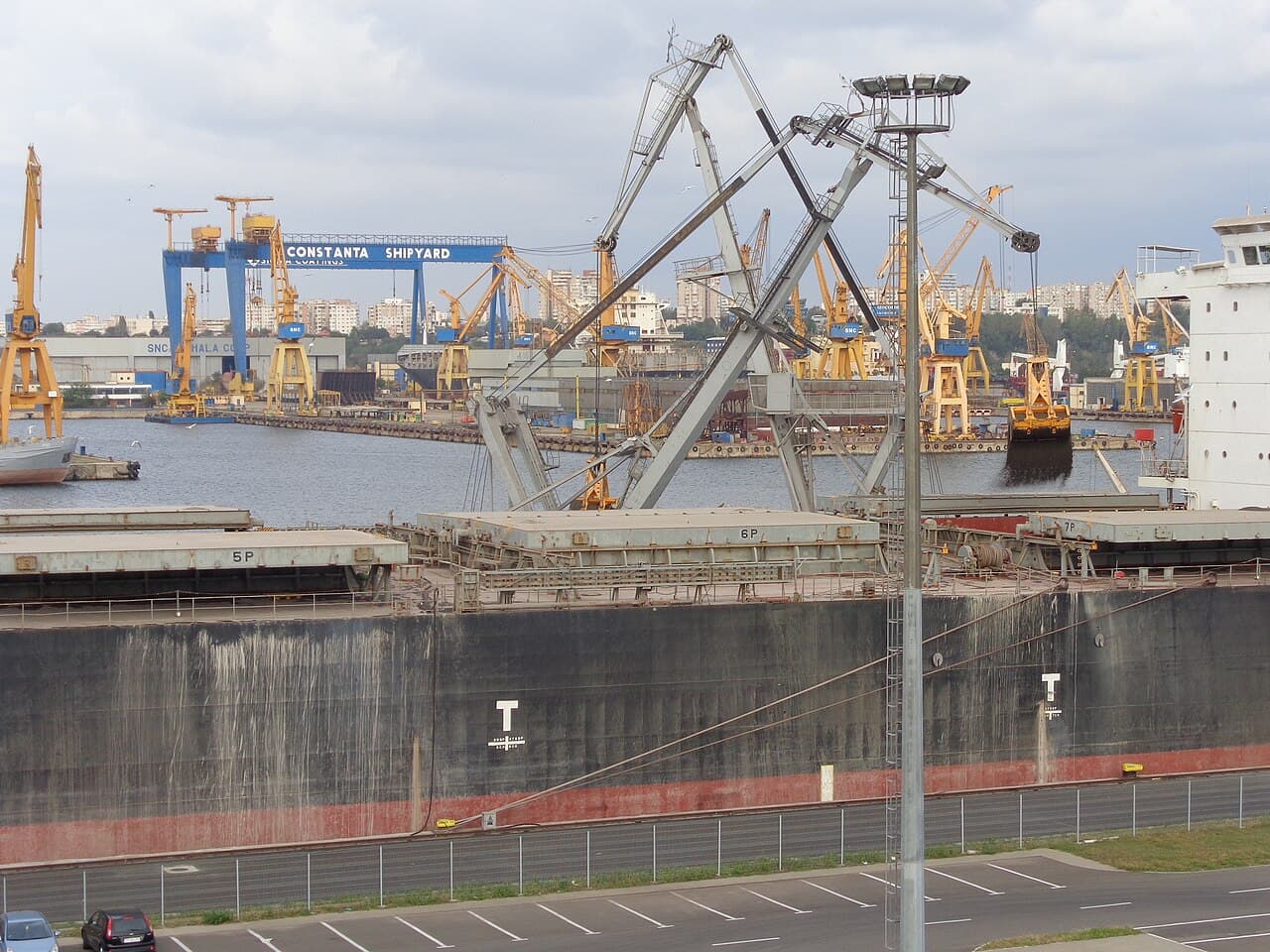
The Turkish-owned grain ship Royad Mammadov sank about 30 nautical miles south of Sfântu Gheorghe on October 5, 2026, Romania's Interior Ministry said. Romania counts two crew dead; Azerbaijan says its captain died and a second sailor is missing, and AirVeto measures the site 169 km from where the Alfa Watan sank off Bulgaria early the next day.
The ship caught fire and sank inside Romania's economic zone
The Maritime Coordination Centre in Constanța told the Coast Guard of a fire on a commercial vessel at about 11:00 local time, the Interior Ministry said. The ship was in Romania's exclusive economic zone, which starts beyond the 12-mile territorial sea.
It was the Royad Mammadov, owned by the Turkish company MG Shipping 5 and sailing under a Saint Kitts and Nevis flag, per Euronews. The ship was carrying grain from the Ukrainian port of Izmail to Ravenna, Italy. Ukraine's president Volodymyr Zelensky said Azerbaijani and Indian citizens were on board.
Rescuers pulled 11 sailors from the sea
Romanian rescue ships and a helicopter reached the site, and the Interior Ministry reported 11 crew rescued. Adevărul named the sea rescue vessels Apollo and Ares and a Black Hawk helicopter that flew the injured to shore.
Three foreign sailors, aged 22, 23 and 50, were admitted to the county hospital in Constanța with multiple injuries, conscious and stable, the hospital said.
Romania counts two dead; Azerbaijan counts one dead and one missing
The Interior Ministry said two people died. Azerbaijan's foreign ministry later said the ship's Azerbaijani captain died and a second Azerbaijani crew member is still missing, per Yahoo News. Euronews reported one sailor missing on the day.
The two accounts differ by one person between dead and missing. No source reconciles them.
Ukraine blames two Russian drones; Romania has named no suspect
Zelensky called it a "horrific strike by two Russian drones on a civilian vessel in neutral waters carrying corn." Romanian authorities have not named a suspect, Euronews reported. The head of Romania's Free Navigators Union told Digi24 the ship was hit by aerial and sea drones, which is secondhand.
Romanian outlets place the wreck near two different landmarks
The Interior Ministry put the ship 30 nautical miles south of Sfântu Gheorghe, and AirVeto pins that distance. Early reports said about 20 nautical miles from shore. Euronews and Digi24 said 9 nautical miles from the Pescăruș platform, and Digi24 and Adevărul said southeast of it. The landmarks do not match, so the pin is approximate.
The nearest earlier AirVeto page is Romania's naval drones in the Black Sea, 39.5 km from the pin. The Sfântu Gheorghe drone shoot-down lies 56.5 km away.
A second ship sank off Bulgaria 16 hours after Romania's alert
The Alfa Watan sank at about 03:00 local time on October 6, 16 hours after Romania's alert and 169 km almost due south of this position, per AirVeto's measurement. The page on the Alfa Watan and Able strikes covers it.
Wind conditions over the Black Sea site
At 09:00 local time on October 5, the start of the window the sources allow, the wind at 80 m blew from the SW at 4.3 km/h. At 2,000 m it came from the N at 10 km/h. At 3,000 m it came from the NNW at 15.3 km/h. No source gives the hour of the strike, so these are morning readings, not the moment of impact.
This reconstruction is based on reporting by Sofia Globe, Euronews, Adevărul, Digi24 and Yahoo News, and AirVeto's wind-model data. The method is on the methodology page, and Romania's hub lists the country's other incidents.
Sources
- Sofia Globe - Two dead, Turkish ship sinks in Romania's EEZ, reportedly after drone strike (5 Oct 2026)
- Euronews - Turkish grain ship sinks in Black Sea after deadly drone attack (5 Oct 2026)
- Adevărul - Navă lovită de drone, scufundată în Marea Neagră (5 Oct 2026)
- Digi24 - O navă turcească cu cereale a fost scufundată lângă Platforma Pescăruș (5 Oct 2026)
- Yahoo News - Bulgaria calls off search for 10 missing sailors after drone attack sinks cargo ship (7 Oct 2026)
- Methodology