
Lithuania air alert: radar mark was a bird flock, 13 Sep 2026
Lithuania's yellow-level air danger alert on 13 September 2026 was cancelled 29 minutes later; the radar mark was a bird flock, not a drone.
Lithuania's Armed Forces and National Crisis Management Centre sent a yellow-level ("TIKĖTINAS ORO PAVOJUS" - probable air threat) cell-broadcast at 13:08 local time (10:08 UTC) on September 13, 2026, covering Vilnius city and the Elektrėnai and Trakai districts. Yellow is the middle tier of Lithuania's three-level system: a possible threat is being monitored, but no dangerous object is confirmed inside Lithuanian territory. Red would mean an object is in the airspace; white is the all-clear.
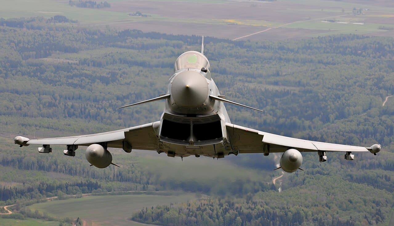
The notification read: "Potentially detected drone. Find safe place. If you see suspicious object, keep away, call 112. Wait for the all-clear." Residents were told to identify a safe location, avoid approaching any suspicious object, call 112 if one is spotted, and await further official announcements. NATO air policing aircraft were sent up to verify the radar contact.
An earlier radar contact near Varėna, hours before the alert
The day's radar activity began well before the afternoon alert. Lithuania's military air force radars detected an object near Varėna at 04:05 local time (01:05 UTC), apparently having entered from Belarus. It travelled roughly 60-70 km through Lithuanian territory before exiting toward Russia's Kaliningrad region at 04:25 local time (01:25 UTC). No air raid alert was issued at that time and NATO fighters were not scrambled; the Border Guard Service, whose sensors watch the physical ground border and the lowest altitudes, did not detect the object separately.
NKVC director Vilmantas Vitkauskas told reporters around midday that, based on the recorded parameters, the object was "most likely" an uncrewed aircraft, while cautioning that confirmation without physical wreckage is difficult: "Without the object in hand, it's difficult to confirm, but based on the parameters recorded, it was most likely a pilotless aircraft." He did not rule out a contraband-smuggling drone. Twenty-two such devices had already been detected at the border that month.
The afternoon alert's radar mark was a bird flock
The all-clear ("balta" - white) came at 13:37 local time (10:37 UTC), 29 minutes after the afternoon alert was issued. NATO air policing fighters checked the object in the air and found the radar returns had come from a flock of birds, not a drone. NKVC explained that initial radar data can show similar markings for birds and small unmanned aircraft, which is why the verification took the extra time. NATO jets were not scrambled for the earlier Varėna contact, and it has not been separately identified - Vitkauskas's "most likely a pilotless aircraft" assessment for that detection stands unconfirmed.
Wind conditions over Vilnius
At 10:00 UTC on September 13, the 1,000 m layer over Vilnius showed WSW wind at 30.3 km/h. At 2,000 m the wind shifted to WNW at 21.7 km/h; at 3,000 m W at 23 km/h. This reconstruction is based on the Lithuanian Armed Forces' cell-broadcast via LT72, corroborated by LRT's follow-up reporting, and on AirVeto's wind-model data for the alert window. Full methodology is on the AirVeto methodology page. The full Baltic airspace alert archive is at the incident archive.
Sources
- LT72 - Lithuanian Armed Forces / National Crisis Management Centre cell-broadcast, via LT72 (13 Sep 2026)
- LRT - Radarai ties Varėna užfiksavo Kaliningrado srities kryptimi judėjusią žymą (13 Sep 2026)
- LRT - NKVC vadovas: į Lietuvą sekmadienį greičiausiai įskrido dronas (13 Sep 2026)
- LRT - Lietuvoje oro pavojaus nebėra (balta) (13 Sep 2026)
- Methodology