
Drone found radar-undetected in Samanė, Utena district
A destroyed drone was found near Samanė village, Utena district, on May 17, 2026; Lithuanian radars had not detected it in flight, and preliminary markings suggested Ukrainian origin.
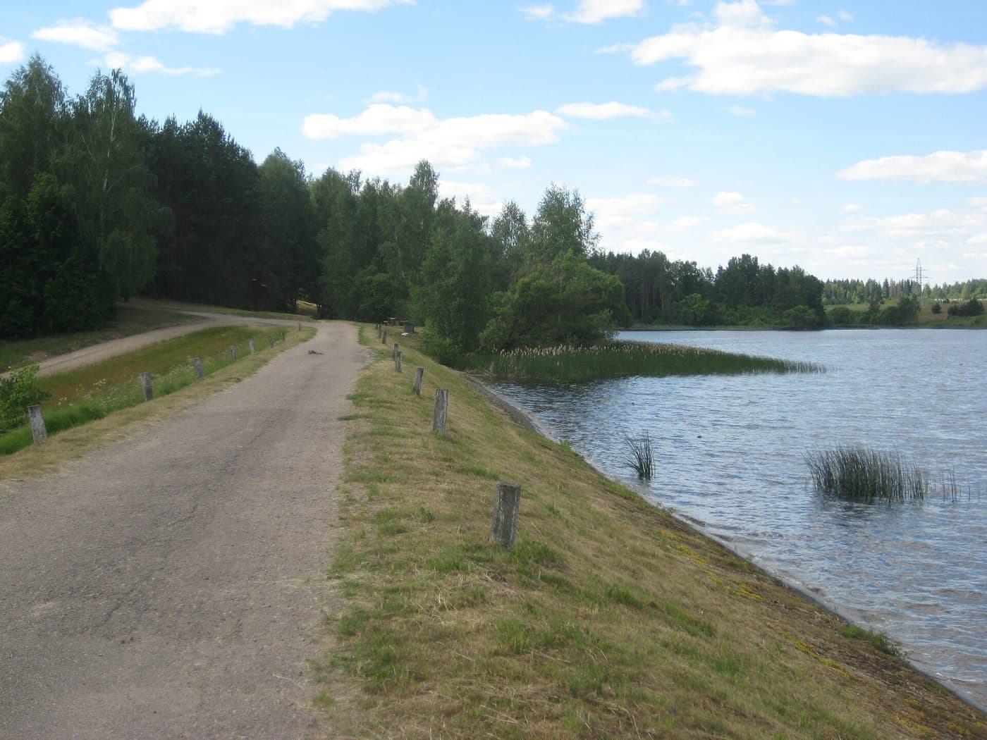
At 19:14 local time (16:14 UTC) on Sunday, May 17, 2026, Lithuania's National Crisis Management Centre (NKVC) received a report that a crashed and destroyed drone had been found in a field near Samanė village in the Utena district, northeastern Lithuania. Plan «Skydas» ("Shield"), the national emergency response protocol, was activated, and police, bomb disposal units, and military specialists were dispatched to secure the site.
The find was reported by local residents. NKVC chief Vilmantas Vitkauskas held a press briefing on Sunday evening at which he said preliminary indications from the wreckage pointed toward a Ukrainian military drone, while cautioning that confirmation would have to wait for the specialist team to return from the scene:
"Based on preliminary signs, from what we see in the debris that colleagues forwarded, it is most likely a Ukrainian drone."
On the question of whether the airframe had been carrying a warhead, Vitkauskas told reporters:
"Yes, it is destroyed, but there are no visible signs of an explosion. Whether it had a charge or not, it is hard to answer at this point."
Radars did not detect the drone
According to the Lithuanian Armed Forces, military radars did not register the drone during its flight. As a result, authorities had no track of the route the object took into Lithuanian airspace, nor the direction from which it entered the country. The Utena district lies in the northeast of the country, close to both the Latvian and Belarusian borders.
LRT separately reported, citing the Latvian armed forces, that earlier on Sunday morning one drone had entered Latvian airspace from Russia and then exited, indicating that cross-border drone activity was already underway in the region hours before the Samanė find.
Plan «Skydas» activated; public asked to stay away
The Shield protocol triggered the standard response: a cordon around the wreckage, on-scene specialists assessing whether any explosive payload or hazardous components were present, and a public advisory.
NKVC asked residents to:
- stay away from the scene and from the object itself;
- not to touch, move, or photograph close-up any drone parts or debris;
- report suspicious debris or relevant information immediately via the 112 emergency number;
- refrain from spreading unverified information on social media while the investigation was ongoing.
What this incident fits into
The Samanė find is the second confirmed drone crash on Lithuanian territory in 2026 attributed by Lithuanian authorities to a stray Ukrainian military drone, and one of a sequence of such events around the Baltic rim:
- March 23, 2026 - Varėna district, Lithuania. A Ukrainian drone crashed near Lake Lavysas in the Varėna district, close to the Belarusian border. Plan «Skydas» was activated. Per the Centre for Eastern Studies (OSW), the drone is assessed to have veered off course during a strike on the Russian oil terminal in Primorsk, possibly because of Russian electronic warfare.
- March 25, 2026 - Latvia and Estonia. Two further Ukrainian drones entered the airspace of Latvia and Estonia from Russia; one struck the chimney of the Auvere power station in Estonia. The drones are believed to have been part of the same Ukrainian strike on Russian oil infrastructure at Ust-Luga / Primorsk.
- May 7, 2026 - Rēzekne, Latvia. Two stray Ukrainian drones crashed in eastern Latvia, with strikes on an East-West Transit oil storage facility in Rēzekne - see the Rēzekne / Viļāni incident page.
The recurring assessment from Baltic capitals is that these are Ukrainian long-range strike drones launched at Russian targets (most often the Baltic-coast oil export terminals of Ust-Luga and Primorsk) which are pushed off course by Russian electronic warfare and GPS jamming. Russia has, in turn, accused the Baltic states of permitting their airspace to be used for hostile activity against Russia - a charge the three governments reject.
Within days the same pattern produced a NATO fighter shoot-down over Estonia on 19 May, the air-danger alert that closed Vilnius Airport on 20 May, and a second day of Utena-district alerts on 21 May.
Wind layer - regional weather context
AirVeto's wind view for Utena at the event window shows the regional weather context for the final ballistic leg, the same way a forecast would present it. The An-196 "Lutyi" cruises at a programmed altitude - typically 500–2,000 m for current Ukrainian designs - and becomes a wind-dependent object once it loses control or fuel, unlike the contraband balloons that make up most of the AirVeto archive, which are wind-drift objects for the full flight. The model and the limits behind that view are documented on the methodology page.
Investigation ongoing
As of the evening of May 17, 2026, police, bomb disposal teams, and military specialists were continuing to examine the wreckage. NKVC said additional information would be released once a verified picture of the drone's model, manufacturer, payload, and flight path was available. Authorities had not, by the end of the day, released the drone's exact type or mission. The full archive of Lithuanian drone and airspace-alert incidents, each with the regional wind context at the event window, is collected at the category hub: Dronai Lietuvoje (in Lithuanian).
AirVeto's account of the Samanė find draws on reporting by LRT and Reuters, and on wind-model data providing meteorological context for the 16:14–20:30 UTC event window on May 17, 2026.
Related location
- NATO eastern flank - The frontier where EU airspace meets Russia and Belarus across five NATO member states - the active zone of drone incursions, smuggling balloon recoveries, and Baltic Air Policing intercepts since 2025.
Sources
- LRT - NKVC vadovas: pirminiais duomenimis, Utenos rajone sudužęs dronas yra ukrainietiškas (May 17, 2026)
- LRT English - Drone crashed in Lithuania, believed to be Ukrainian military aircraft (May 17, 2026)
- Reuters via WHBL - Suspected Ukrainian military drone found crashed in Lithuania (May 17, 2026)
- Wikipedia - 2026 Ukrainian drone incursions into Baltic states
- Methodology
Last updated: