Analysis from the EU's eastern frontier.
Analysis and explainers on wind patterns, cross-border air tracking, and OSINT monitoring across the EU’s eastern frontier.
RSS feed
Delta, Palantir, and SitaWare: battlefield management systems compared (Ukraine, USA, Lithuania, 2026)
Side-by-side comparison of the three battlefield management systems used by Ukraine, the US, and Lithuania, with where AirVeto's public wind layer fits.
Squall Over the Suwałki Gap: What 25 m/s Winds Mean for the Eastern Border
Lithuania's hydrometeorological service issued an orange warning for Vilnius, Utena, and Panevėžys counties on June 11, 2026. Wind gusts of 25 m/s are sweeping the exact border zones AirVeto monitors.

Polish F-35 Husarz Flyover — 'Powitanie z Polską' Over Kraków, Warsaw, Gdańsk
Poland's first F-35A Husarz jets overfly Kraków, Warsaw, and Gdańsk on 12 June 2026. The program, the pilots, and what it means for NATO's eastern flank.

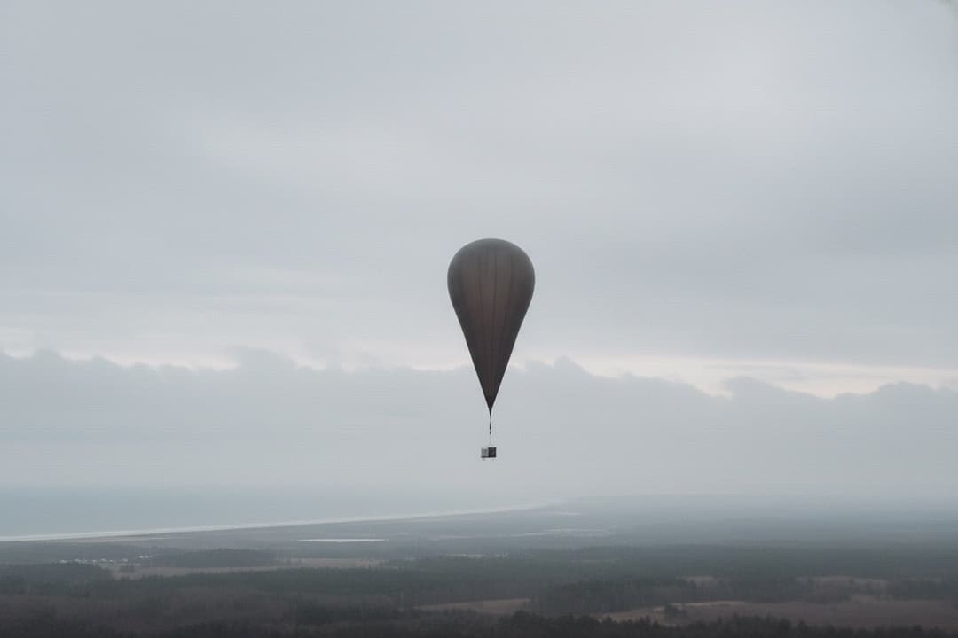
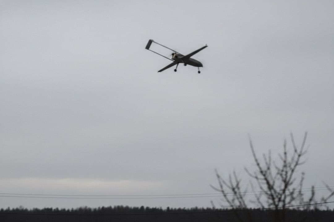
Ukraine is launching strike drones from helium balloons. The wind at 8,000 metres sets the release window.
Ukraine is releasing Hornet AI strike drones from aerostats at 8,000 m to double effective range. The wind at that altitude sets the release window.
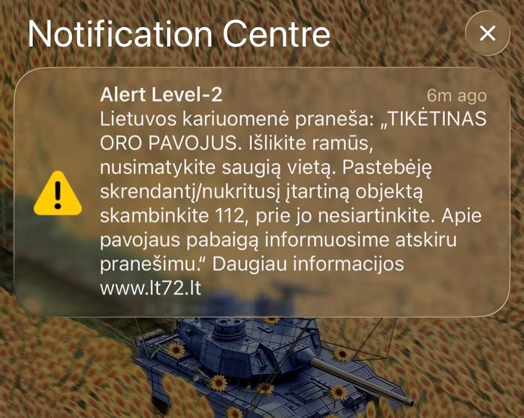
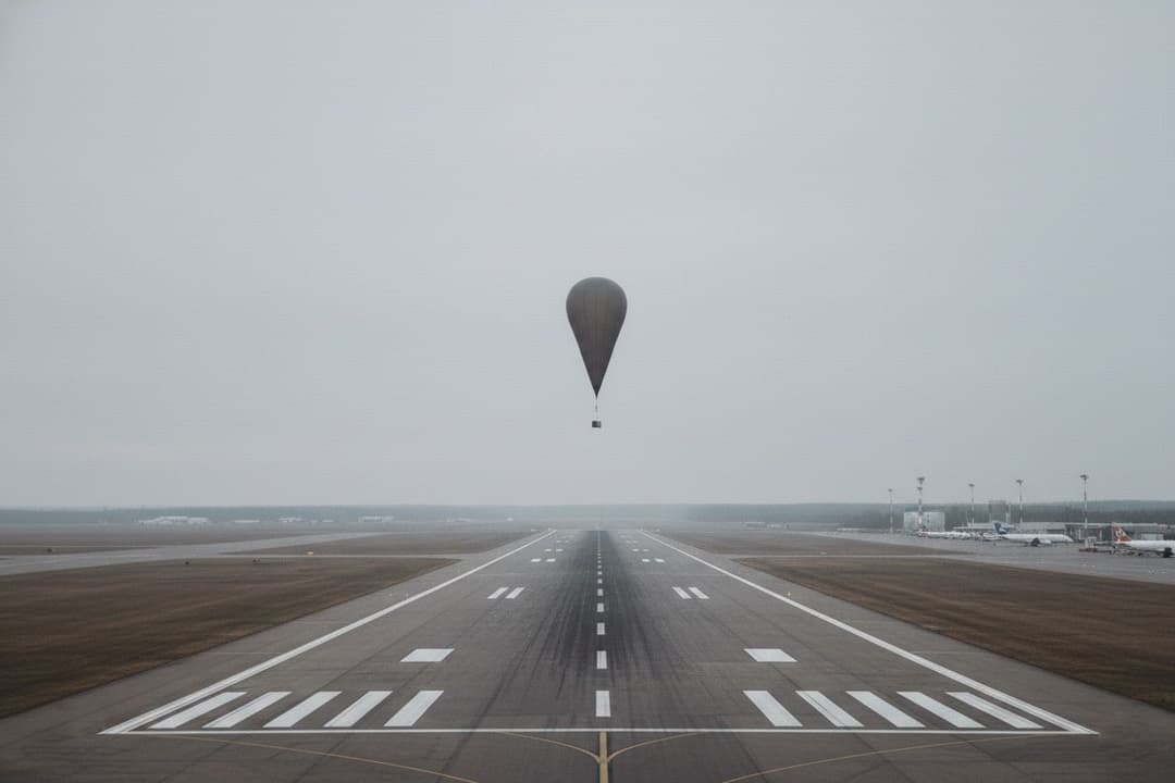
How not to report important data
A Lithuanian air-danger alert on 20 May 2026 shut an airport and emptied platforms while telling residents next to nothing. Three things it got wrong.
Three months of cross-border inflow
Five months of incident reconstructions along the EU's eastern frontier reveal three patterns that country-level weather services can't show.
Reading the Suwałki Gap
The Suwałki Gap is 65 km wide, flanked by Belarus and Kaliningrad. What its wind field looks like and which altitude layer predicts most incidents.